Concordia professor inventive app helps city of Montreal organize construction
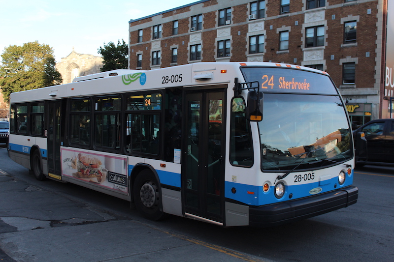
This month, the city of Montreal is using an innovative smartphone app, called MTL Trajet, to track Montrealers’ trips through the city in an effort to better plan road networks, construction detours and bike paths.
It’s the second time the city is running the project. Last fall, more than 11,000 Montreal residents downloaded the app.
MTL Trajet is a version of the Itinerum app, both developed by Zachary Patterson, a geography professor and director of the Transportation Research for Integrated Planning (TRIP) Lab at Concordia University. He developed the app in 2014 as a way to collect travel behaviour data around the Concordia community.
Patterson said the MTL Trajet project has the potential to serve as a new way to collect data that can be used to plan transportation networks. According to the Société de transport métropolitain (STM), their main source of transportation data is Origin Montreal—a phone survey that is conducted every five years.
“Young people are being left out of these surveys,” Patterson said. “[MTL Trajet] is a method by which you can hopefully have more detailed information on people’s trips and be able to capture segments of the population that are being less and less captured in these traditional surveys.”
According to Patterson, the project is one of the first of its kind. The San Francisco County Transportation Authority pioneered crowdsourced data collection in 2013 through the use of an app called Cycletracks. Cycletracks used GPS data collected by cyclists in San Francisco to help plan bike paths, but according to user reviews, it didn’t always map routes accurately.
“These cycling apps, in order to record your trips, you had to open the app and say you’re taking a bike trip,” Patterson said. “What’s different with what we do is that MTL Trajet automatically detects when you’re taking a trip.”
In 2015, Patterson was asked by the Agence Française de Développement (AFD) to use a version of the Itinerum app to map out bus routes in Accra, Ghana. Accra’s transportation network was a semi-formal network of buses called trotros, operated by independent contractors. Patterson said the inexpensive nature of the Itinerum app allowed them to accurately map out Accra’s public transit system.
What he and his team found was that many of the listed routes taken by the buses in Ghana weren’t actually in use at all.
Patterson cited battery life as one of biggest challenges in creating a data-mapping app.
“Our goal was to be able to collect data every block so we could identify people’s itineraries accurately but not change their [phone] charging schedule,” he said. “That was the hardest thing.”
Patterson sees a future for crowdsourcing apps like Itinerum and MTL Trajet as an easy-to-use and inexpensive tool for researchers. “My hope is that it will be available to be used not just by people who have a deep understanding of programming, but also by students,” he said.
The more people who use the MTL Trajet app, he said, the more useful and accurate the data will be.
MTL Trajet is available for download on the App Store or Google Play Store.


