A Concordia student has developed a web-map to spread awareness of urban development in Montreal
Concordia undergraduate student Mirya Reid developed an interactive map of Montreal’s urban sprawl to raise awareness of the environmental impact of residential choices on future generations. The map was launched at an online panel on Oct. 1, leading into Campus Sustainability Month.
The is two webmaps side-by-side, the two maps convey different kinds of information, allowing the viewer to easily compare information in one map with the other and see how they are related. One map is of the urban sprawl in Montreal, the other map contains survey data on Concordia students resident preferences and perceptions of urban sprawl.
“Each map has a menu that allows people to select which variables they want to compare,” said Reid. “So you could choose to look at median income by borough in 2011 alongside levels of urban sprawl in 2011 and get a really clear visual of what that relationship looks like.”
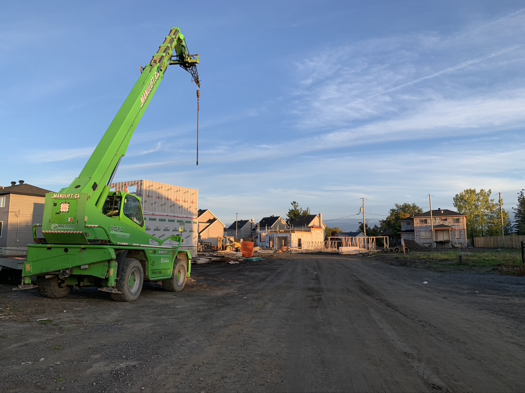
The Montreal Metropolitan Community (CMM) released a report in 2020 that stated urban sprawl is intensifying across the outskirts of Montreal, and that the number of people driving from the suburbs to urban areas has increased steadily over the last decade.
The report goes on to say that the rise in single-family homes being built in the outskirts of urban areas is resulting in a loss of agricultural land and green space.
“It is increasingly apparent that urban sprawl is really not a sustainable form of urban development,” said Reid at the panel. She explained that there are significant greenhouse gas emissions associated with heating and cooling larger single-family detached homes in the suburbs.
According to Reid, the homes are built in areas that were created to be easier to get around by car rather than public transit. This contributes to greenhouse gas emissions, as well as the production of particulate matter which are linked to various respiratory illnesses.
“Sprawling development also results in ecological fragmentation which threatens biodiversity and the ability of natural areas to adapt to the increasing urban areas,” said Reid.
“The other reason we’re concerned about all this is because urban sprawl is increasing in Montreal, at alarming rates, and it’s been accelerating continuously since 1951. It has increased by 26 per cent between 1971 and 2011.”
Reid explained that there is a correlation between having more children and living in the suburbs, as having children generally demands more room. Yet she stated that it also depends on affordability: property is significantly more expensive downtown, thus some families must opt for the suburbs where it can be more affordable, while higher-income families are able to afford to live downtown.
“Some studies are finding that preferences can change with the younger generation,” said Reid. “My generation and millennials are increasingly choosing to remain in denser urban environments.”
According to a recent Statistics Canada report, Montreal and Toronto have had a record amount of people move from urban areas to the suburbs, as well as smaller towns and rural areas. The report states that Montreal had 24,800 people move from the city, while places like Farnham and Saint-Hippolyte had their population rise.
Reid explains that she learned how to create the interactive map in a class about geospatial technologies, where they were taught the programming language Python.
“It was stressful at times because I’m really not a programmer,” said Reid, who explained that she had only taken a few programming classes, and taught herself the rest with help from friends and the internet. “Sometimes I would start trying to do something without even knowing if it was actually possible, and just problem-solve until I ended up with what I like to call a ‘Franken-code’ that did what I wanted.”
“Doing that all summer was extremely fun and rewarding, it feels like a victory when you finally fix a bug or get something to work,” said Reid.
She received $4,620 of funding from the Sustainability Action Fund (SAF), which is a fee-levy group that gives the majority of its funding to support projects that develop sustainable infrastructure.
When asked why students should be interested in the interactive map, Reid explained that public trends should always be a priority for students. She stated that it is important for people to have a wide range of information on sustainability issues, including this one.
Photograph by Hadassah Alencar


